Read my High Country News story about the fight against drilling in the Greater Chaco Region.
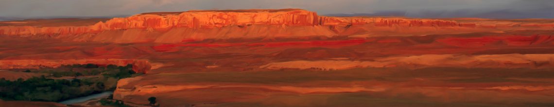
Shortly after 10 p.m. on a warm and clear July night in 2016, residents who lived around Nageezi, in northwestern New Mexico, heard a loud pop. When they looked out their windows, they saw the darkness rent by curdling orange flames emanating from a cluster of six, newly-drilled, WPX Energy oil wells. The odor of burnt hydrocarbons was so thick that those standing a mile or more away could almost taste it in the air. Black smoke blotted out the stars.

Derek Largo filmed the scene on his phone from near the Red Mesa store, a popular pit stop abutting the always busy, often dangerous, Highway 550 near the turnoff to Chaco Culture National Historical Park. “It just keeps on exploding,” Largo says as he films. “Explosion after explosion after explosion. It’s pretty much kind of chaos.”
Later, investigators hired by the oil company determined that the fire was the result of equipment failure, and had started at a pump which was used to move oil from the wells to temporary tanks on the well pad. The fire burned for four days, consuming 36 giant tanks and everything in them.
The catastrophic fire is represented by one of the smaller bubbles on the San Juan Basin oil and gas spill map that we put together using data from the New Mexico Oil Conservation Division. The fire dot is small because officially no oil, produced water or other chemicals were “spilled” during the fire — they just burned up and wafted over the area as thick, black, stinky smoke.

Such is life in the San Juan Basin where, as one federal land manager once told me, “We’ve go so much pipe in the ground it’s like rebar.”
From September 2011 until February 2018, more than 2,000 spills and other such incidents were reported in the San Juan Basin oil and gas field in northwestern New Mexico, or nearly one per day. Some were dramatic, like the fire. Others went undetected for an unknown amount of time before someone, usually an oil or gas company employee, discovered the leak, or open valve, or ruptured pipe.
The biggest “spills” involved methane, and tended to be located in the northern part of the basin, where coalbed methane development has been centered since the late 1980s, and over which the notorious Four Corners Methane Hotspot was discovered several years ago by NASA scientists. Nearly 580 million cubic feet of methane was lost through leaks during this time period, enough to power 4,800 homes for a year. Crude oil oozed onto the ground or into the water; because it is viscous, spilled oil often can be recovered with giant vacuum trucks. 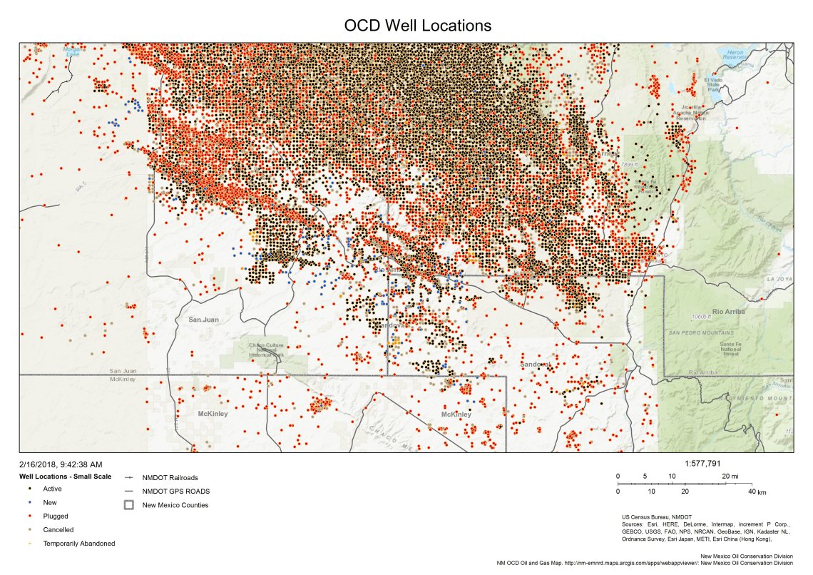
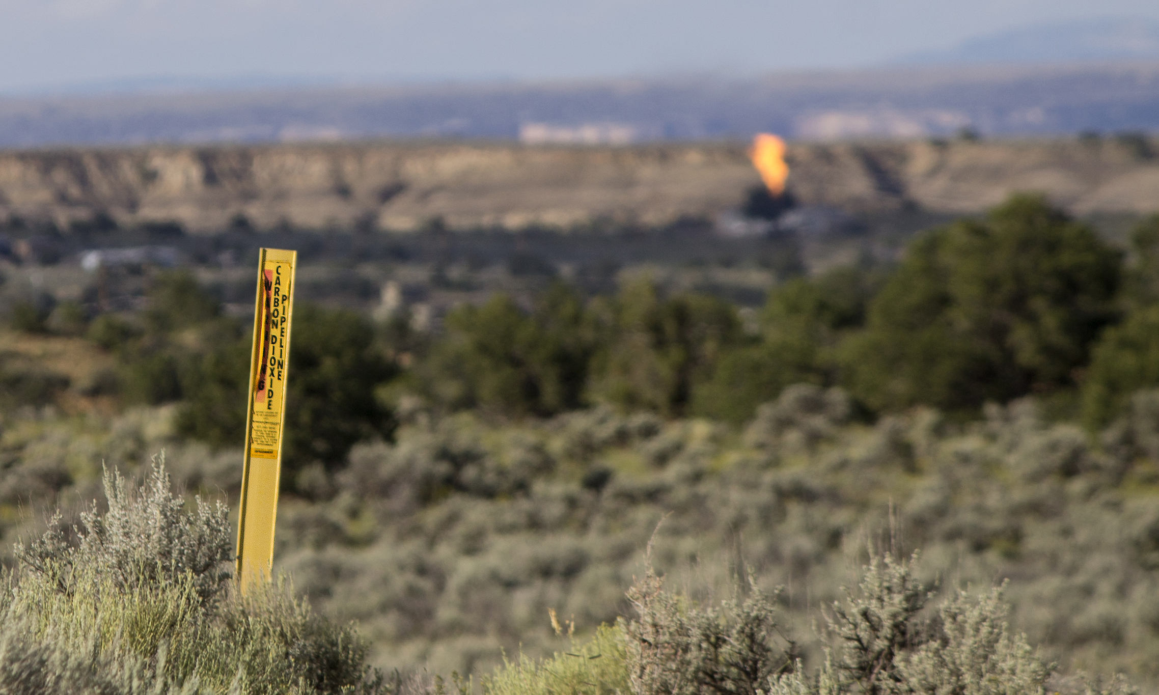
Produced water — also known as formation water — occurs naturally, side-by-side with oil and gas. When the oil and gas are brought to the surface, anywhere from two to 200 times as much water comes along for the ride. Produced water is usually saltier than seawater and it can be naturally tainted by hydrocarbons in addition to arsenic, a smorgasbord of heavy metals and even radiation. It’s typically disposed of by shooting it deep into the earth in so-called injection wells, but since it’s so abundant, it also gets spilled a lot, in quantities large and small.
Also on the list of spilled substances: lube oil, drilling mud, amine, corrosion inhibitor, bactericide, BTEX, naphthalene and, perhaps most concerning, hydrogen sulfide, or H2S. Hydrogen sulfide occurs alongside oil and natural gas, and often leaks from wells, valves and even tanker trucks. At just 2 parts per million, H2S can cause nausea and headaches; above 1000 ppm — which is not rare at oil and gas facilities — it can kill in a matter of minutes. New Mexico’s reporting threshold is 100 ppm, meaning a well could leak harmful concentrations on a daily basis and never be reported.
Corrosion and equipment failure were the top causes of spills and other incidents. Other causes (and the number of spills attributed to them) include: freeze (126); human error (97); vandalism (37); fire (21); vehicular accident (14); blow out (7); and lightning (3).
For more information on every reported incident over the last six and a half years, click on the link to the map, and use the cursor to zoom in and out, and hover over the dots for info on individual spills.
Read my High Country News story about the fight against drilling in the Greater Chaco Region.
