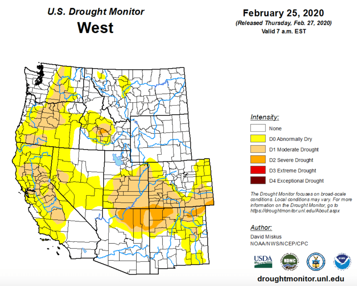
Average to middling. That describes the San Juan Mountain snowpack as of March 1 — at least at the higher elevation stations that River of Lost Souls monitors. At lower elevations there’s pretty much nothing. The Animas Valley looks like a big sheet of beige.
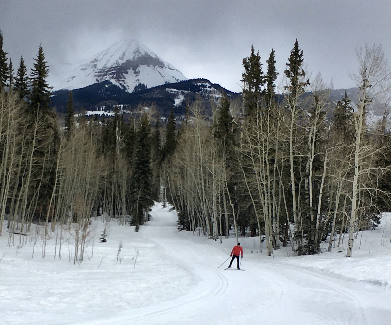
I was fortunate enough to be able to sample the snowpack first-hand this weekend at the Durango Nordic Center. Conditions are fast and lovely for skate-skiing in the mornings before things really warm up and start slushing up. Everywhere else the snow is crusty or slushy. And the warm temps have also brought snow levels down across the San Juan, Animas, Dolores River basins, putting them at around 90 percent of normal as of March 1.
The graphs below show the usual SNOTEL suspects: Columbus Basin, high in the La Plata Mountains; Molas Pass; and Red Mountain Pass. This time I only included the average levels for that particular station’s period of record, and snow water levels at the first of each month for water years 2002 (drought!), 2018 (drought!), 2019 (serious snow!), and 2020 (average).
It’s worth noting that in 2019 the big snows hit in March. So there’s always the chance that the 2020 snowpack will rebound before winter comes to an end.